


Tsarevo
Царево

Worth a detour
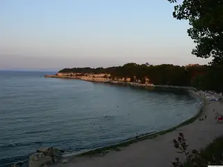
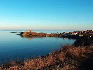
The last town of any size before the Turkish border, on a headland between two capes, with a harbour opened by Tsar Boris III in 1937 and a municipality that counts sixteen beaches totalling more than nine kilometres of sand. It is the practical base for the far south: Arapya and Nestinarka on the doorstep, Sinemorets and Silistar half an hour on, and Strandzha behind.
Story
Background
The town has changed its name four times. It was Vasiliko, first mentioned by the Arab geographer al-Idrisi in 1153 and described by Evliya Çelebi in 1662; it burned in 1882 and joined Bulgaria under the Treaty of Constantinople in September 1913. A ministerial order of August 1934 made it Tsarevo, after Tsar Boris III, who paid for the port. A decree of 1950 renamed it Michurin, after the Soviet plant breeder. The old name came back in 1991.
The church of the Dormition stands on the high ground of the old Vasiliko quarter, above the bay. It is stone, not the wooden building it is sometimes described as, built around 1810 on an older church and given its present form in 1895 — a three-aisled pseudo-basilica with one apse, holding icons painted between 1797 and 1805 by Ioan Zograf of Ahtopol. A sixteenth- or seventeenth-century building excavated to the east of it may have been the Vasiliko customs post.
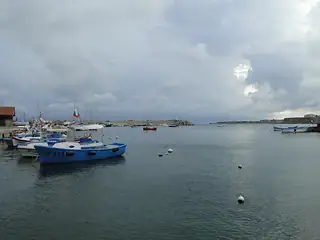
The harbour opened on the first of August 1937 and was then the third largest in Bulgaria. It is currently a building site: the fishing port is being rebuilt under a European fisheries programme with no published completion date. Two things to plan around. The coast road through the town crosses a narrow arch bridge reduced to a single traffic-light-controlled lane; and the municipality has said it will not introduce paid parking zones, offering free buffer car parks instead.
From open data
Dates and details
- On
- Black Sea
- Municipality
- Tsarevo
- Elevation
- 0 m
- Area
- 35 km²
- Population
- 5,417 (2025)
Photographs



Where the information comes from
About & sources
Last checked Sep 17, 2026
Descriptions, recommendations and the audio scripts are written for this guide.
Report a problem