


St. Anastasia Island
Света Анастасия

Worth a detour
The crossing is half the point — thirty to forty minutes out into Burgas Bay to a single hectare of volcanic rock carrying a church, a lighthouse, a restaurant and five guest rooms. The museum tells the island's strange career: medieval monastery, political prison from 1923, Bolshevik Island under communism. Boats run in the warm months, cancel in bad weather, and fill up in high summer.
Story
Background
A monastery dedicated to St Anastasia stood here through the Middle Ages and was rebuilt in the eighteenth and nineteenth centuries. Monastic life ended in 1923, when the state turned the island into a prison. In 1925 forty-three political prisoners led by Teohar Bakardzhiev seized a boat, got away and made it to the Soviet Union — the episode the museum makes the most of, with video installations rather than glass cases.
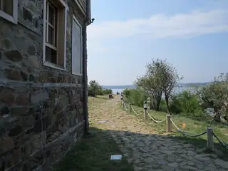
After 1945 the island was renamed Bolshevik and kept that name for decades. The old name came back, the buildings were restored, and it now runs as a small municipal attraction: church, lighthouse, exhibition, restaurant, and two guesthouses with five rooms between them for anyone who wants to be left behind overnight.
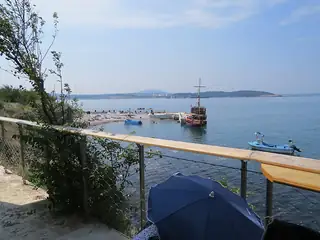
Boats leave from Magazia 1 at the Maritime Station, not from the bridge in the Sea Garden, and the crossing takes around half an hour. A standard visit gives you roughly two hours ashore, which is generous for a hectare, though you can usually arrange to stay longer. The island is exposed and there is no shelter to speak of on the walk round the rim, so a hat in August and a windproof in October are both sensible.
From open data
Dates and details
- On
- Black Sea
- Municipality
- Burgas
- Elevation
- 12 m
- Length
- 193 m
- Area
- 1 ha
- Width
- 69 m
English Wikipedia
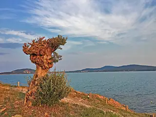
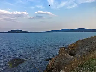
St. Anastasia Island is a small Bulgarian island in the Black Sea. It is located in the Gulf of Burgas, 1.5 km off the coast near Chernomorets, at 12 metres above sea level, and covers a territory of one hectare. The island is built of volcanic rocks.
English Wikipedia · CC BY-SA 4.0
Photographs




Where the information comes from
About & sources
Last checked Sep 17, 2026
Descriptions, recommendations and the audio scripts are written for this guide.
Report a problem