


Sredna Gora
Средна гора

Worth a detour
Sredna Gora runs parallel to Stara Planina on the other side of the sub-Balkan valleys — lower, softer, far less walked, topping out at 1,604 metres. Its claim on Bulgarian memory is political rather than alpine: the April Uprising of 1876 was organised in these hills, and the towns on its flanks are where it began. Come for Koprivshtitsa and Panagyurishte more than for the summits.
Story
Background
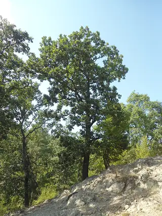
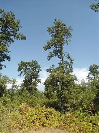
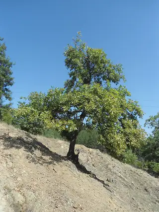
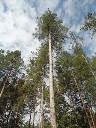
The range is about 285 kilometres long and up to 50 wide, divided by the Topolnitsa and Stryama rivers into three sections: Ihtimanska in the west, Sashtinska in the middle, Sarnena in the east. The highest point is Golyam Bogdan at 1,604 metres. Geologically and scenically it is the junior partner to the Balkan range across the valley — rounded, wooded, with pasture on top and no real alpine character — and it gets a fraction of the walkers.
What happened here in 1876 is why the name is familiar to every Bulgarian. The revolutionary organisation divided the country into districts, and the fourth district, centred on Panagyurishte, was the one that actually rose. Delegates met in secret at Oborishte in the hills above the town in April 1876 to fix the date. One of them informed the authorities; the rising broke out prematurely at Koprivshtitsa on 20 April, when Todor Kableshkov sent the letter to Panagyurishte announcing it — signed, according to tradition, in blood.
It was crushed within weeks and the reprisals that followed, particularly at Batak, produced the outrage in Britain and Russia that led to the war of 1877–78. So a failed rising in a modest mountain range is the hinge of modern Bulgarian history. Practically, the way to engage with it is the museum towns on the southern and northern flanks — Koprivshtitsa above all, which kept its Revival architecture almost intact — with the hills as the backdrop they were.
What this kind of place is
Summit
Bulgarian mountain paths are marked with painted bars on rock and tree — a coloured stripe between two white ones — and the gaps between marks can be long above the treeline. Weather on the high ridges of Rila and Pirin turns fast in any month, and snow lies in the gullies into July.
From open data
Dates and details
- Elevation
- 1,604 m
- Length
- 285 km
- Width
- 50 km
English Wikipedia
Sredna Gora is a mountain range in central Bulgaria, situated south of and parallel to the Balkan Mountains and extending from the river Iskar to the west and the elbow of river Tundzha north of the city of Yambol to the east. Sredna Gora is 285 km long, reaching 50 km at its greatest width.
English Wikipedia · CC BY-SA 4.0
Photographs




Where the information comes from
About & sources
Last checked Sep 17, 2026
Descriptions, recommendations and the audio scripts are written for this guide.
Report a problem