


Sakar Mountain
Сакар

Worth a detour
Sakar is a low dome of a range in the far south-east, between the Maritsa and the Tundzha, running down to the Turkish border and topping out at 856 metres. It is one of the richest raptor areas in the country and the stronghold of the eastern imperial eagle, and it is scattered with Thracian dolmens. There is almost no tourist infrastructure here, which is the point and also the problem.
Story
Background
This is not Stara Planina and it is a long way from it — Sakar sits in the far south-east corner of Bulgaria, pressed between the Maritsa, the Tundzha and the border, with Topolovgrad and Svilengrad as the nearest towns. Its highest point, Vishegrad, reaches 856 metres, and the whole range is rounded, open, grazed and hot.
Two things bring people. The first is birds. Sakar holds one of Europe's more significant populations of the eastern imperial eagle, along with other raptors that use the open grassland and scattered oak, and it forms part of the European Green Belt along the old Iron Curtain line — decades of restricted access on the border left the habitat in better condition than it would otherwise be. Conservation groups work here actively.
The second is megaliths. Dozens of Thracian dolmens stand in these hills, stone box tombs of the first millennium BC, along with rock-cut sanctuaries and later fortifications. Most of them are unsigned, sit in fields or scrub, and take local directions or a good map to find. That is the honest summary of visiting Sakar: the things worth seeing are real and mostly unmanaged, and you will need to work for them.
What this kind of place is
Summit
Bulgarian mountain paths are marked with painted bars on rock and tree — a coloured stripe between two white ones — and the gaps between marks can be long above the treeline. Weather on the high ridges of Rila and Pirin turns fast in any month, and snow lies in the gullies into July.
From open data
Dates and details
- Municipality
- Stara Zagora
- Elevation
- 856 m
- Length
- 75 km
- Width
- 35 km
English Wikipedia
Sakar is a low dome-shaped mountain range in southeastern Bulgaria, whose southeasternmost limits extend to European Turkey. Its highest peak is Vishegrad with an altitude of 856 meters above sea level. It is an important ornithological area and contains 220 bird species.
English Wikipedia · CC BY-SA 4.0
Photographs
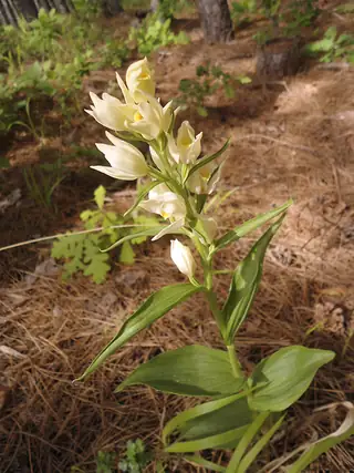

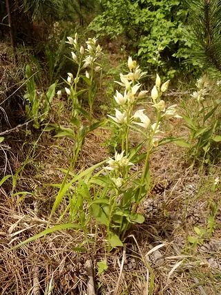

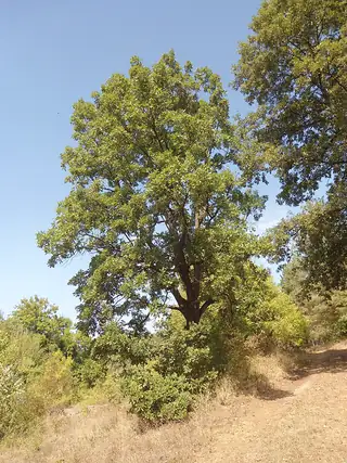

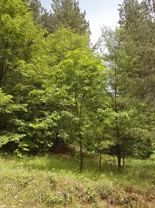

Where the information comes from
About & sources
Last checked Sep 17, 2026
Descriptions, recommendations and the audio scripts are written for this guide.
Report a problem