


Rhodope Mountains
Родопи

Worth a detour
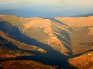
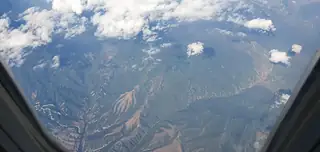
The largest mountain range in Bulgaria and the least dramatic from a distance — rounded, forested, without a proper alpine skyline. The interest is underground and in the detail: some of the best cave and gorge country in Europe, villages that kept their music and their building habits, and a road network that makes everything take twice as long as the map suggests. Allow days, not a day.
Story
Background
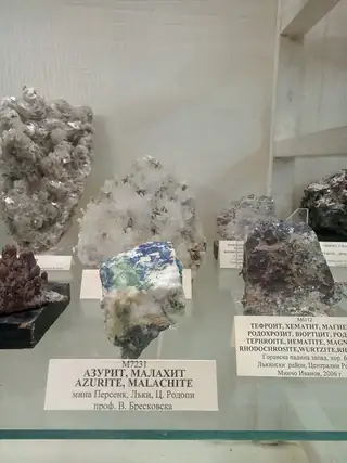
About eighteen thousand square kilometres, roughly four fifths of it in Bulgaria and the rest in Greece, running some two hundred and twenty kilometres from west to east. That is large enough that the two halves behave like separate mountains. The Western Rhodopes average around 1,100 metres, are covered in spruce and pine, and hold the marble the water has been working on: Trigrad, Buynovo, the caves, the sinkholes, the rivers that go underground. The Eastern Rhodopes average barely 330 metres, are dry, open and full of light, and look more like Anatolia than the Balkans.
The highest point, Golyam Perelik at 2,191 metres, is not somewhere to aim for: the summit is a military installation and closed. That is characteristic. The Rhodopes reward people willing to give up on peaks and go looking for specific things instead — a cave that only opens on certain days, a gorge with one lane of road, a rock sanctuary an hour's climb above a village.
Distances are the practical problem. Roads follow river valleys and cross ridges reluctantly, so fifty kilometres on the map can be an hour and a half in the car. Fuel stations are sparse in the east. In winter the higher passes close after snow and the show caves shorten their hours or shut for two days a week. Coming from Plovdiv for the day, you will see one valley. That is fine — but know it before you set out.
What this kind of place is
Summit
Bulgarian mountain paths are marked with painted bars on rock and tree — a coloured stripe between two white ones — and the gaps between marks can be long above the treeline. Weather on the high ridges of Rila and Pirin turns fast in any month, and snow lies in the gullies into July.
From open data
Dates and details
- Part of
- Alpide belt
- Elevation
- 2,191 m
- Length
- 240 km
- Area
- 18,000 km²
- Width
- 100 km
English Wikipedia
The Rhodopes are a mountain range in Southeastern Europe, and the largest by area in Bulgaria, with over 83% of its area in the southern part of the country and the remainder in Greece. Golyam Perelik is its highest peak at 2,191 meters (7,188 ft). The mountain range gives its name to the terrestrial ecoregion Rodope montane mixed forests that belongs in the temperate broadleaf and mixed forests biome and the Palearctic realm.
English Wikipedia · CC BY-SA 4.0
Photographs



Where the information comes from
About & sources
Last checked Sep 17, 2026
Descriptions, recommendations and the audio scripts are written for this guide.
Report a problem