


Midžor
Миджур

Worth a detour
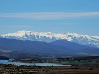
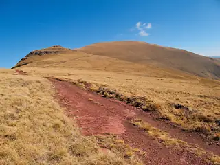
The high point of the Western Balkan range and of Serbia, and until the border installations came down in the early 1990s nobody walked here at all. That is why it still feels unused: long grass ridges, the sources of the Lom and the Timok directly beneath you, and almost no one else. It is a full day from either Bulgarian trailhead, and the roads to those trailheads are rough.
Story
Background
Two approaches from the Bulgarian side, and neither is casual. From Chuprene, a seventeen-kilometre dirt road up the Chuprenska river reaches the Gorski Ray hut at 1,450 metres, and it wants a high-clearance vehicle; on foot it is a little over nine kilometres up the Manastirka on one of two eco-trails. From the hut a marked path crosses the Chuprene biosphere reserve — one of the last places in Bulgaria where capercaillie nest — to the main ridge, then runs south-east over Ostra Chuka and Oba at 2,033 metres to the saddle at border marker 336, where the Lom and the Timok both rise. From there it is about an hour up the north-west slope. Reckon four and a half hours from the hut.
From Gorni Lom the line is shorter and steeper: a hut at 840 metres, seven kilometres above the village in a former border post, then two to three hours of hard climbing to the same saddle.
The mountain itself is grass on three sides and a steep rock face on the north, which climbers use. The summit area has been protected landscape since 2009 for its alpine flora. The border runs over the top; Serbia requires no permit, and from the Serbian side people come up from Babin Zub and Topli Dol. On a clear day the emptiness is the whole point — this is the least-walked two-thousand-metre ridge in the country.
What this kind of place is
Summit
A named summit. Bulgarian mountain paths are marked with painted bars on rock and tree — a coloured stripe between two white ones — and the intervals between marks can be long above the treeline. Weather on the high ridges of Rila and Pirin turns fast in any month, and snow lies in the gullies into July.
From open data
Dates and details
- Municipality
- Chuprene
- Elevation
- 2,169 m
English Wikipedia
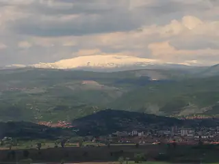
Midžor or Midzhur is a peak in the Balkan Mountains, situated on the border between Bulgaria and Serbia. At 2,169 metres (7,116 ft), it is the highest peak of the Western Balkan Mountains, as well as the highest in Serbia.
English Wikipedia · CC BY-SA 4.0
Photographs




Where the information comes from
About & sources
Last checked Sep 17, 2026
Descriptions, recommendations and the audio scripts are written for this guide.
Report a problem