


Gulf of Burgas
Бургаски залив

Worth a detour
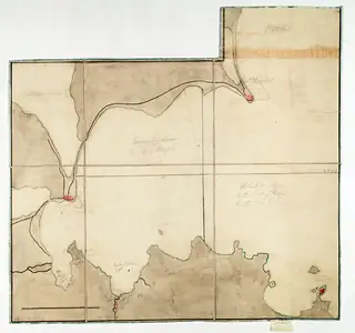
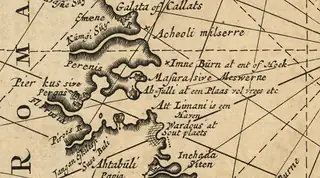
Burgas Bay is the largest indentation on this whole coast, running from Cape Emine in the north to Cape Maslen in the south, and every settlement, saltworks, lagoon and port in this guide exists because of it. You cannot visit a bay, but you can stand at the end of the pier or on the hill at Lale Bair and see why the Greeks, the Romans and the salt makers all chose it.
Story
Background
The shape of the coast does the work. A long shallow arc facing east collects sediment, throws up sand bars, and closes off lagoons behind them; that is how Atanasovsko, Pomorie and the old Mandra liman were all formed, and it is why there is so much salt and so much birdlife concentrated in one place. The same arc gave a safe anchorage in almost any wind, which is why Apollonia was founded at one end of it in the seventh century BC and Anchialos at the other.
The bay's islands are all at the southern end: St Ivan and St Peter off Sozopol, St Cyricus joined to the town, St Thomas further south, and St Anastasia out in the middle of the bay itself. All are volcanic. The northern shore is low and sandy as far as Pomorie and then rises into the last hills of the Balkan range at Emine.
What the bay is now is a working roadstead. Tankers lie off it waiting for the oil terminal, the port cranes run along the western shore, and the refinery stands behind Vaya. Bulgarians from elsewhere find this ugly. It is also the thing that makes Burgas a real city rather than a resort, and the view from the end of the pier — islands to the right, cranes to the left, salt pans behind you — is the honest one.
From open data
Dates and details
- Part of
- Black Sea
English Wikipedia
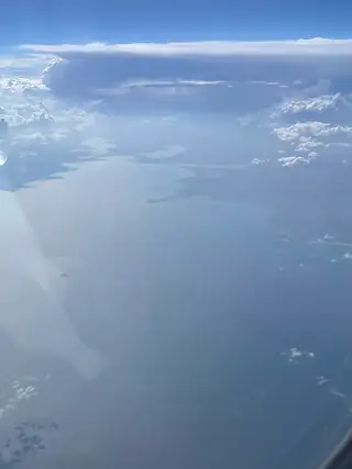
Gulf of Burgas or Burgas Bay between the coastline and the straight line joining Cape Emine and Cape Maslen nos is the largest bay of the Bulgarian Black Sea Coast and one of the largest in the Black Sea. The length of the gulf is 44 kilometres. It is 41 km at its widest and 25 m at its deepest, reaching 31 km at its greatest innermost extent, approximately where the Bulgarian city and major port of Burgas is located.
English Wikipedia · CC BY-SA 4.0
Photographs




Where the information comes from
About & sources
Last checked Sep 17, 2026
Descriptions, recommendations and the audio scripts are written for this guide.
Report a problem