


Gorno Gradishte
Горно Градище

Worth a detour
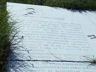
East of Debelt village, on higher ground, is a separately listed antique and medieval settlement called Gorno Gradishte — the upper fort. It has been a monument of national significance since 1965 and there is nothing on it: no sign, no path, no interpretation. It is worth the twenty minutes only if you are already at Deultum and want to see the whole shape of the place.
Story
Background
Debelt carries three distinct listed sites of national significance, all declared in 1965, plus the reserve of the ancient city itself. Gorno Gradishte is the upper of two fortified points, east of the village; Dolno Gradishte, the lower fort, is inside it; and five or six kilometres to the south-west runs the Old Bulgarian rampart called Erkesia. An earlier declaration, of a site described as the fort by Ekezli-Debelt, goes back to 1927.
What the sequence tells you is that this was a defended position long before and long after the Roman colony. The Thracian settlement of Develt preceded Deultum; the Byzantine defences went up over the Roman city; and from the ninth century Debelt was the border post of the First Bulgarian Kingdom, with the Erkesia rampart running west from here and the Sredetska river as the line between Bulgaria and Byzantium.
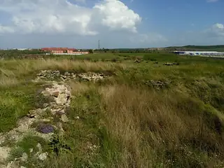
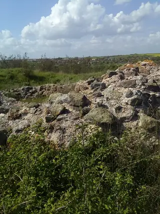
On the ground there is grass, scrub, some worked stone and a view over the Mandra basin. Nobody has excavated it systematically and nobody has the money to present it. It is included in this guide because a visitor standing in the Deultum reserve may reasonably wonder what the hill to the east is, and because the concentration of listed sites in one small village is itself the interesting fact. Go in spring before the vegetation closes in, and treat it as a walk.
From open data
Dates and details
- Municipality
- Debelt
Photographs



Where the information comes from
About & sources
Last checked Sep 17, 2026
Descriptions, recommendations and the audio scripts are written for this guide.
Report a problem