


Balkan Mountains
Стара планина

Worth a detour
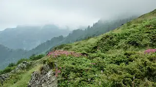
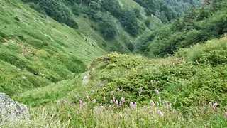
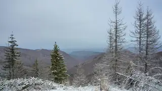
Five hundred and thirty kilometres of mountain running the full width of the country, from the Serbian border to a cliff over the Black Sea at Cape Emine. It is not somewhere you visit so much as somewhere you cross, repeatedly, and it decides the weather, the passes and the history on either side of it. If you want to meet it properly, drive a pass or walk a section of the ridge trail.
Story
Background
Stara Planina means old mountain, and the ancients called it Haemus; the peninsula took its later name from the Turkish word for mountain range applied to this one. It runs roughly west to east for some 530 kilometres across Bulgaria into Serbia, reaching 2,376 metres at Botev, and it divides the country physically and culturally — the Danube plain and its long cold winters to the north, the Thracian lowlands and the Rose Valley to the south.
That geography made it the line everything has been decided on. The passes — Shipka, Beklemeto, Vratnik, Zlatitsa — are where armies were stopped and where the road network still squeezes through. The forests were where the haiduti hid. The 1877 defence of Shipka, the 1876 rising in the villages below, the partisan groups of the 1940s: the same ridges, over and over.
For a visitor the range divides into usable pieces. The central section is the highest and the most protected, inside Central Balkan National Park. The western end around Vratsa and the Iskar gorge is limestone and caves. The eastern end flattens and runs out at the sea. Along the whole crest runs the Kom–Emine route, part of the European E3, which is the classic long Bulgarian walk and takes most people three to four weeks. Huts sit along it at roughly day intervals. You do not need to do all of it — a two-day stretch of ridge with a night in a hut is the cheapest way to understand the country's shape.
What this kind of place is
Summit
Bulgarian mountain paths are marked with painted bars on rock and tree — a coloured stripe between two white ones — and the gaps between marks can be long above the treeline. Weather on the high ridges of Rila and Pirin turns fast in any month, and snow lies in the gullies into July.
From open data
Dates and details
- Part of
- Alpide belt
- Municipality
- Lovech
- Elevation
- 2,376 m
- Length
- 530 km
- Area
- 11,596 km²
English Wikipedia
The Balkan mountain range is located in the eastern part of the Balkan Peninsula in Southeastern Europe. It is conventionally taken to begin at the peak of Vrashka Chuka on the border between Bulgaria and Serbia. It then runs for about 560 kilometres (350 mi), first in a south-easterly direction along the border, then eastward across Bulgaria, forming a natural barrier between the northern and southern halves of the country, before finally reaching the Black Sea at Cape Emine.
English Wikipedia · CC BY-SA 4.0
Photographs



Where the information comes from
About & sources
Last checked Sep 17, 2026
Descriptions, recommendations and the audio scripts are written for this guide.
Report a problem